General Concept: APPLY and More provides advanced Building Information Modeling (BIM) solutions integrated with Geographic Information Systems (GIS) to create a unified digital environment (GeoBIM) that supports design, execution, and asset management in an intelligent, data-driven manner.
Core Service Scope:
- Multidisciplinary BIM Modeling:
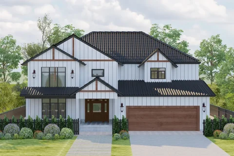
- Creation of accurate 3D models including architectural, structural, MEP (mechanical, electrical, plumbing), and infrastructure disciplines.
- Application of Levels of Development (LOD 100–500) throughout the project lifecycle.
- Coordination of federated models to reduce conflicts and improve precision.
- Preparation and execution of a BIM Execution Plan (BEP) in line with international standards.
- GIS-BIM Integration (GeoBIM):
- Georeferencing BIM elements using real-world coordinates.
- Integration of BIM model data with GIS base maps (satellite imagery, topographic maps, zoning divisions).
- Creation of enriched databases for clash analysis, environmental validation, and service coordination.
- Development of interactive dashboards to display and analyze models for stakeholders.
- Support for integrated utility and infrastructure management (both underground and above-ground networks).
- Scan-to-BIM:
- Conversion of LiDAR point clouds, laser scans, and drone imagery into precise BIM models.
- Ideal for documenting existing conditions, retrofitting, and creating digital twins (Digital Twin).
- Digital Twin Enablement:
- Linking BIM models with IoT systems and real-time data to monitor and manage assets.
- Cloud-based Project Management (BIM 360):
- Centralized document sharing, real-time design collaboration, issue tracking, and model versioning via a cloud platform.
- 4D BIM (Time Integration):
- Linking construction sequencing with BIM models using scheduling software like Primavera.
- 5D BIM (Cost Integration):
- Direct quantity take-offs, cost estimation, budgeting, and expenditure tracking from models.
- Integration with ERP systems for budget control.
- Advanced Analytical Tools:
- Clash detection across architecture, structure, MEP, and infrastructure.
- Generation of COBie-compliant data for efficient project handover and asset management.
Compliance with Regional Standards:
- Saudi Arabia: SBC, NEOM, Aramco, MOMRAH, SEC, NWC.
- United Arab Emirates: Dubai Municipality, Abu Dhabi Municipality, Trakhees, Estidama, DEWA, Etisalat.
- Qatar: Ashghal, QCS, Kahramaa, QP, QCD.
- Egypt: Ministry of Housing, NUCA, Egyptian Building Codes.
Beneficiaries of GeoBIM Services:
- Government Entities:
- Used in smart urban planning, infrastructure design, and monitoring major projects through digital twins.
- Facilitates compliance monitoring and data-driven decision-making.
- Utility & Infrastructure Companies (Electricity, Water, Sewage, Communications):
- Used for mapping and documenting both underground and above-ground networks.
- Supports risk assessment, asset tracking, and maintenance planning.
- Contractors:
- Utilizes integrated BIM models for site coordination and conflict avoidance.
- GIS integration aids in efficient logistics planning and resource management on site.
- Real Estate Developers:
- Uses GIS-BIM integration for site analysis and understanding the impact of surrounding infrastructure.
- Enables regulatory and environmental assessments before project implementation.
- Facility Management Companies:
- Leverages digital twins for smart asset management.
- Allows real-time asset performance tracking and efficient planning of routine and emergency maintenance.
Technologies Used:
- GIS Tools: ArcGIS Pro, QGIS, PostGIS, Global Mapper.
- BIM Tools: Revit, Civil 3D, Navisworks, InfraWorks.
- Integration Tools: FME, ArcGIS for Revit, GeoBIM APIs, IFC-COBie.
- Visualization & Analysis: 3D web viewers, interactive GIS dashboards.
Why APPLY and More?
- Regional GeoBIM experience with major projects like NEOM, New Cairo, STPs.
- Full integration from design to digital twin.
- Strict adherence to local and international standards.
- Extensive expertise in drone-based photogrammetry, LiDAR scanning, and point cloud-to-BIM conversion.
- Proven results in cost reduction, efficiency improvements, and accelerated project timelines.